
The National Map Library of Edinburgh shows the extent of the city in 1830 when James McLevy became criminal officer number 1.
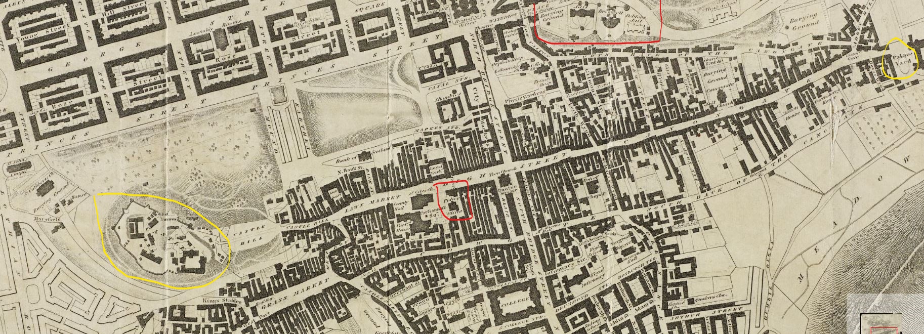
Marked in red at the centre is the Police Office with Bridewell Jail at the top of the map. Edinburgh Castle is to the left, circled in yellow, and Holyrood Park to the right. The Royal Mile is the street between with the herringbone closes and tenements running off it. This is the area McLevy patrolled. Crimes in the Georgian New Town to the north of the map would tend to be dealt with by his superiors.
